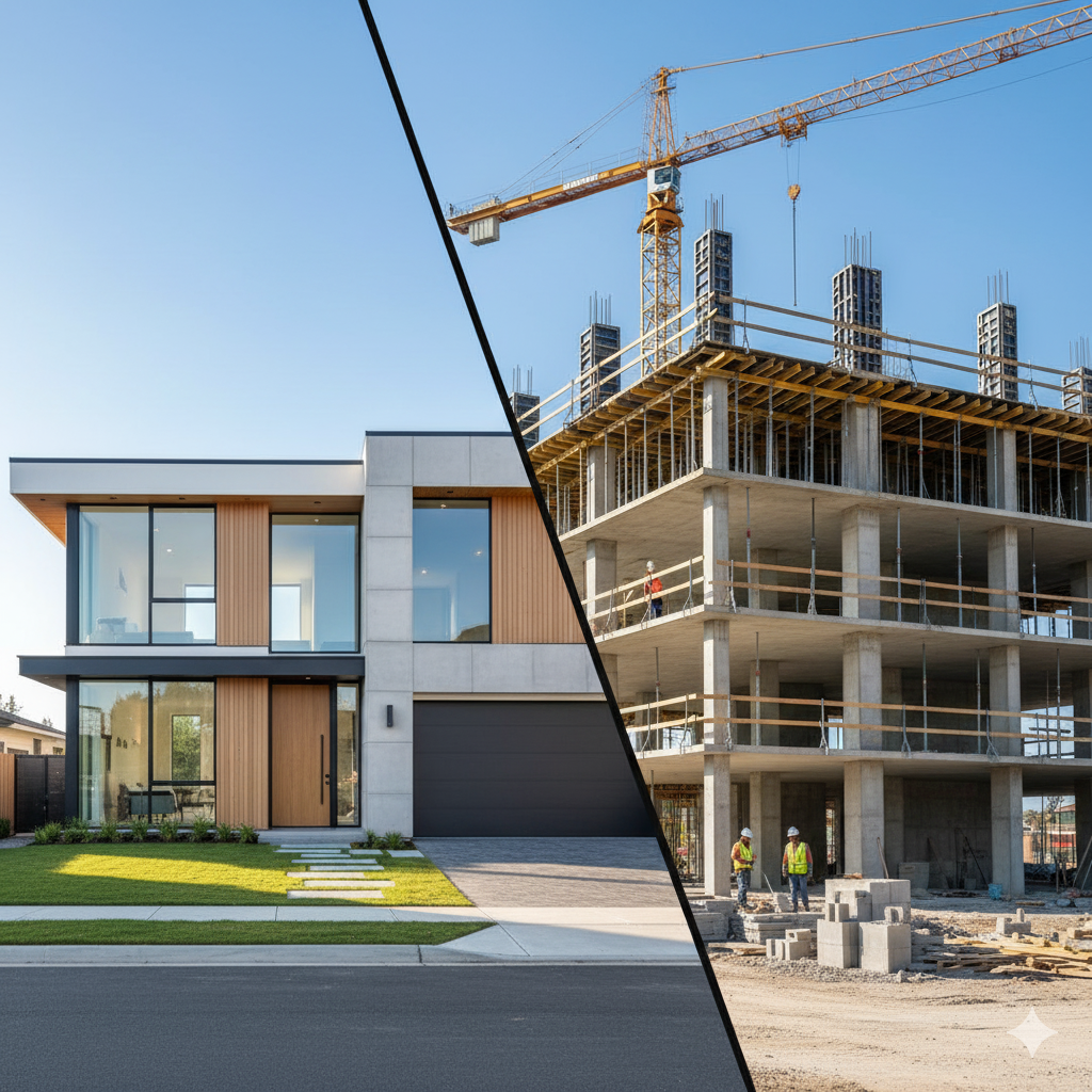
Help buyers envision spaces before visiting. Our real‑estate service combines HDR interior photography, exterior shots, aerial drone views, 3D virtual tours and orthomosaic mapping. Drone mapping provides accurate site measurements for construction planning.
Process: Consultation → Shot list & site visit → Ground photography → Aerial drone capture → 3D scanning & virtual tour generation → Editing & post‑production → Delivery on MLS‑ready templates.
Deliverables: High‑resolution photos, 4K video walk‑throughs, drone footage, 3D Matterport tours, 2D floor plans, orthomosaic maps.
Value & Pricing: Standard packages start at US$175–229 for photography and US$50–200 for drone add‑ons[25]. 3D tours range US$100–2 000[25]. Volume discounts for developers and real‑estate agents.