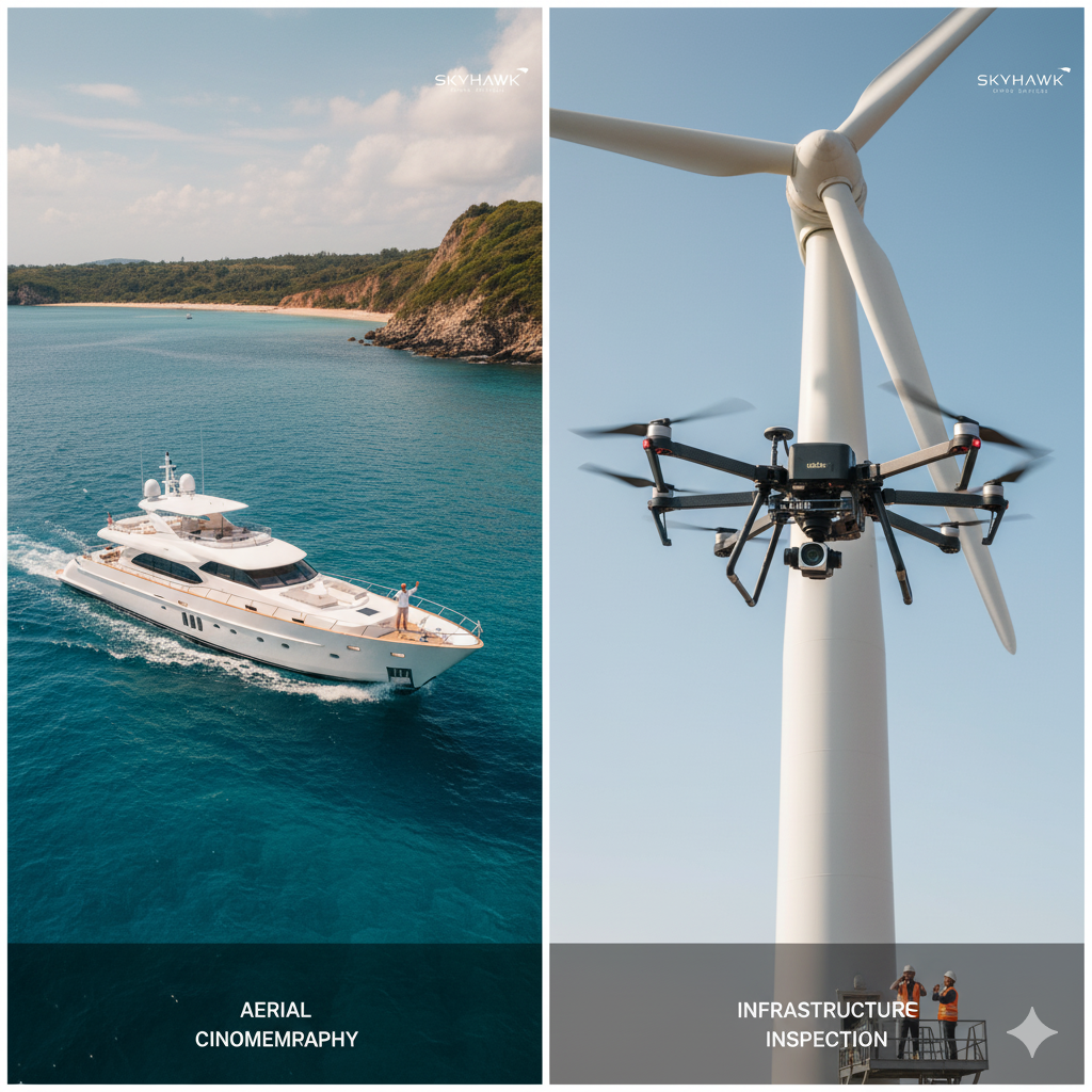
Our certified drone pilots capture cinematic aerial footage, surveys and inspections. We offer FPV (first‑person view) flights, 3D mapping, thermal imaging and cinematic chase shots.
Process: Mission planning (site assessment & regulations) → Flight execution using GPS‑stabilized or FPV drones → Data processing → Editing & delivery.
Deliverables: 4K aerial videos, high‑resolution photos, orthomosaic maps, 3D models, thermal analysis reports.
Value: Safety and legal compliance are paramount. We carry all necessary permits and insurance. Packages range from short cinematic flights to full‑day mapping missions. Combining drone imagery with ground footage creates compelling narratives.